WAVCIS is the Wave-Current-Surge Information System based at Louisiana State University, providing real-time offshore ocean observing data to support research, education, and coastal safety efforts. It is the only lab in Louisiana managing such a system.
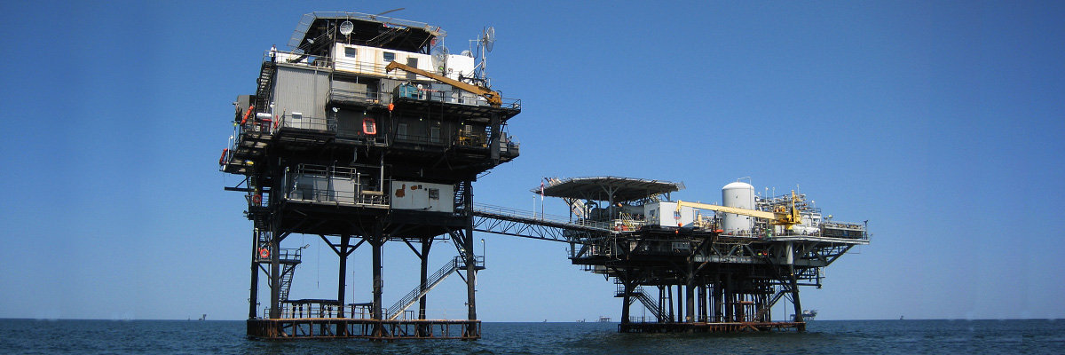
Figure 1. WAVCIS CSI6 Station on Chevron Texaco Platform, South of Terrebonne Bay (Credit: WAVCIS)
Overview
Founded by Dr. Gregory Stone, WAVCIS is operated by a team led by Dr. Chunyan Li, with faculty, staff, and graduate students designing, fabricating, operating, and maintaining offshore monitoring stations.
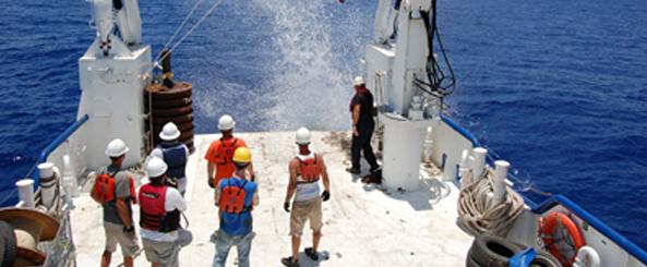
Figure 2. The WAVCIS Team (Credit: WAVCIS)
Program Need
Before WAVCIS, there was a major lack of observational oceanographic data along Louisiana’s coast. The existing national buoy systems did not cover this region effectively. WAVCIS filled this gap with strategically placed monitoring systems.
WAVCIS Observing Network
The program includes real-time stations such as CSI 3, CSI 6, and CSI 9, and others including CSI 5, 15, and 16. These systems collect wave height, current, temperature, pressure, and more.
System Pipeline
WAVCIS is an end-to-end system — data is collected, processed, archived, and disseminated online and to partners like GCOOS and NDBC.
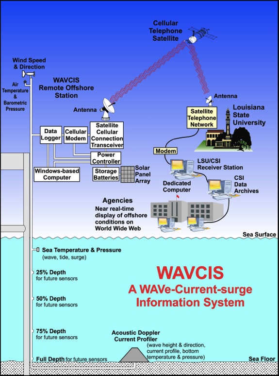
Figure 6. WAVCIS End-to-End System (Credit: WAVCIS)
Collaborations
WAVCIS collaborates with GCOOS, NOAA, CPRA, LUMCON, BP, Chevron, and several academic and government entities. GCOOS provides financial and technical support to enhance interoperability of the data.
Future Plans
The lab is working toward newer data loggers, better satellite communication, and additional HF radar and unmanned survey systems. Collaborations with Nortek and Okeanus aim to expand velocity measurements.
More Information
- Visit: wavcis.csi.lsu.edu
- Contact: Dr. Chunyan Li
- Related publications: Li et al. (2011), Feng & Li (2010), Rego & Li (2009)